
Photo geolocation in real estate is the process of embedding precise GPS coordinates into property photo metadata, turning every image into verifiable location evidence. The industry term for this practice is geotagging, and it records latitude, longitude, altitude, and timestamp directly into a photo's EXIF, XMP, or IPTC data at the moment of capture. For real estate agents, property managers, and homeowners, this means your listing photos carry built-in proof of where and when they were taken. That proof reduces fraud, speeds portal approvals, and builds the kind of buyer trust that closes deals faster.
What is photo geolocation in real estate?
Photo geolocation, or geotagging, is the automatic or manual attachment of GPS coordinates to a photo's metadata at the time of capture. In real estate, this transforms a standard property image into a document that confirms the photo was taken at a specific address, on a specific date, at a specific time. Portals like MagicBricks and NoBroker already rely on geo-verified photos for listing validation, and banks use them for loan monitoring and inspection documentation.
The metadata fields that matter most are latitude, longitude, altitude, and timestamp. These fields sit inside the photo file itself, invisible to the eye but readable by any metadata viewer, portal system, or compliance tool. When a buyer in another city or country views your listing, geo-tagged photos give them a layer of confidence that the property is real, correctly located, and accurately represented.
Geotagging also supports RERA compliance and legal audits. A geo-stamped photo taken at the property address is far harder to dispute than an unverified image. For NRI buyers evaluating properties remotely, this kind of verified visual evidence is not a nice-to-have. It is the deciding factor.

How photo geolocation works: metadata and AI analysis
Modern smartphones embed GPS data into photos automatically, provided location services and camera permissions are enabled. Smartphones achieve 3 to 5 meter GPS accuracy under open sky, which is more than sufficient for real estate documentation. The main barrier is not hardware. It is configuration. Many agents shoot hundreds of listing photos without ever checking whether their device is actually writing GPS data to the file.
The three primary metadata standards used for GPS data are:
- EXIF (Exchangeable Image File Format): The most common standard, supported by virtually every smartphone and digital camera. Stores GPS coordinates, altitude, timestamp, and device orientation.
- XMP (Extensible Metadata Platform): An Adobe-developed standard often used in professional editing workflows. Allows richer descriptive data alongside location fields.
- IPTC (International Press Telecommunications Council): Widely used in media and publishing. Supports location fields and is compatible with many listing management systems.
When GPS metadata is missing or has been stripped, AI-powered visual geolocation fills the gap. These tools analyze visual elements in the photo itself: architectural style, street signage, vegetation, road geometry, and landmark features. AI models achieve up to 72.7% city-level accuracy on benchmark datasets, with accuracy reaching 98% in dense urban environments where visual cues are rich. Rural properties present a harder challenge, since fewer distinct landmarks exist for the model to cross-reference.
Pro Tip: Before your first shoot of the day, open your phone's camera app and wait for the GPS icon to appear in the status bar. This confirms the device has achieved a GPS lock and is actively writing coordinates to your photos.
Benefits and business applications of geotagged property photos
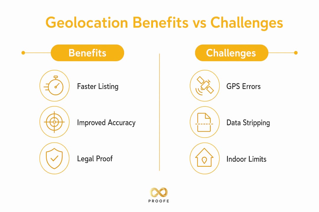
The business case for real estate photo tagging is direct and measurable. Geo-verified photos reduce the risk of fake listings by making it nearly impossible to pass off a photo taken at a different location as the subject property. Geo-stamped photos are now standard risk mitigation tools for property transactions involving banks, lenders, and regulatory bodies.
Here is how geotagging delivers value across the real estate workflow:
- Fraud reduction: A photo with embedded GPS coordinates tied to a specific address cannot be repurposed from another property without detection. This protects sellers, buyers, and agents alike.
- Faster portal approvals: Listing portals that require location verification process geo-tagged submissions faster, reducing the back-and-forth that delays listings going live.
- Remote buyer confidence: International buyers and NRIs can verify property location independently without visiting in person, which accelerates decision-making.
- Banking and loan documentation: Lenders require photographic evidence of property condition and location. Geo-tagged photos satisfy this requirement in a single step.
- RERA and legal compliance: Regulatory audits and legal disputes benefit from timestamped, location-verified photo records that establish a clear chain of evidence.
| Application | Benefit |
|---|---|
| Listing portals | Faster approval and reduced rejection rates |
| Bank inspections | Verified location evidence for loan files |
| RERA compliance | Timestamped proof for regulatory audits |
| Remote buyer verification | Location-confirmed photos for NRI and international clients |
| Legal disputes | Defensible evidence chain combining GPS and visual data |
Geotagged photos also improve local search visibility. When photos with embedded location data are integrated into digital marketing assets, search engines and mapping platforms can associate your listings with specific neighborhoods and addresses more accurately. This is a direct SEO benefit that most agents overlook entirely.
Common challenges when using photo geolocation for listings
GPS accuracy degrades in predictable situations. Indoors and in dense urban environments, accuracy drops to 10 to 15 meters as signals reflect off buildings and walls. For a property in a high-rise or a basement unit, this means your GPS tag may point to the street outside rather than the specific unit. That level of imprecision is acceptable for most listing purposes but not for loan monitoring or legal documentation.
Social media platforms create a separate problem. Instagram and Facebook strip GPS metadata from uploaded images as a privacy protection measure. This means photos you share publicly lose their location data entirely. If your marketing workflow runs through social platforms before landing on a portal, you may be unknowingly distributing unverified images.
Relying on a single GPS tag without visual confirmation is also a risk. A GPS coordinate is a claim, not proof. A photo taken one block from the subject property will carry a GPS tag that looks plausible but is technically wrong. Professionals who treat a pin on a map as sufficient evidence leave themselves exposed in disputes.
Privacy is a real consideration too. Embedding precise GPS coordinates into photos of occupied homes means that metadata could reveal the exact location of a private residence if the file is shared carelessly. Always confirm with your client whether full GPS metadata should be preserved in publicly distributed files.
- Check your device's location services settings before every shoot.
- Verify GPS lock is active before capturing the first photo.
- Use a map-based app to manually pin the location if you are shooting indoors or in a GPS-challenged area.
- Supplement public-facing photos with map overlays or address captions to compensate for platform metadata stripping.
- Store original metadata-intact files separately from any versions uploaded to social media.
Pro Tip: Use a free metadata viewer like Jeffrey's Exif Viewer or ExifTool to spot-check a photo from each shoot. Confirm the GPS coordinates match the property address before submitting to any portal or lender.
Step-by-step workflow for capturing and verifying geo-tagged photos
A reliable geolocation workflow does not require expensive equipment. GPS-enabled smartphones are sufficient when configured correctly. The process below gives you defensible, verified location evidence for every listing.
- Enable location services. Go to your phone's settings and confirm the camera app has permission to access your location. Do this before arriving at the property.
- Wait for GPS lock. GPS lock takes approximately 30 seconds after opening the camera outdoors. Look for the GPS indicator in your status bar before shooting.
- Use manual pinning for weak signal areas. If you are shooting indoors or in a dense urban canyon, use a map-based app such as Google Maps or a dedicated geotagging app to manually assign coordinates to your photos.
- Apply the three-anchor verification rule. Confirm location using three independent sources: the GPS metadata, at least two visible landmarks or street signs in the photos, and a cross-reference against satellite or street view imagery. This combination produces evidence that holds up in high-stakes situations.
- Preserve original files. Save the unedited, metadata-intact originals before any editing or uploading. These are your source documents.
- Add map overlays for public listings. Since platforms strip metadata, include a map screenshot or address overlay in your listing package so buyers and portals can verify location without accessing the raw file.
| Method | Best use case | Accuracy |
|---|---|---|
| Smartphone GPS (outdoor) | Standard listings, open-sky properties | 3 to 5 meters |
| Manual map pinning | Indoor units, basement apartments, dense urban | Address-level |
| AI visual geolocation | Missing metadata, archive photos, dispute resolution | City-level to street-level |
| Three-anchor verification | Loan documentation, RERA compliance, legal disputes | Highest confidence |
The three-anchor workflow is the standard used by experienced geolocation practitioners. It treats GPS as one input among three, not the final word. For everyday listings, GPS alone is fine. For anything involving a bank, regulator, or legal proceeding, the full workflow is non-negotiable.
You can also explore AI-powered photo tools that combine location capture with image enhancement in a single mobile workflow, which cuts the time between shoot and submission significantly.
Key takeaways
Photo geolocation in real estate works best when GPS metadata, visual landmark confirmation, and map validation are combined into a single documented workflow.
| Point | Details |
|---|---|
| Core definition | Geotagging embeds GPS coordinates into photo metadata at capture, creating verifiable location evidence. |
| Accuracy by context | Outdoor GPS delivers 3 to 5 meter accuracy; indoor and urban environments degrade to 10 to 15 meters. |
| AI as a fallback | AI visual geolocation achieves up to 72.7% city-level accuracy when metadata is absent or stripped. |
| Platform stripping risk | Instagram and Facebook remove GPS metadata on upload, requiring map overlays for public listings. |
| Three-anchor rule | Combining GPS, visual landmarks, and satellite map cross-reference produces the most defensible location proof. |
Why geolocation is the trust layer real estate has always needed
I have spent years watching real estate professionals treat photography as a cosmetic step. Get the angles right, make the kitchen look bright, move on. Geolocation changes that entirely, and most agents still have not caught up.
What strikes me most is how simple the barrier to entry actually is. Properly configured smartphones already capture everything you need. The gap is not technology. It is awareness. Agents who understand this are already using geo-tagged photos to speed up bank approvals, satisfy compliance requirements, and give remote buyers the confidence to make offers without a site visit. The ones who do not are losing deals they never knew they were losing.
The AI fallback capability is where things get genuinely interesting. The idea that a model can identify a property's city-level location from architectural details and vegetation alone, with no metadata at all, is not science fiction. It is already in production tools. For dispute resolution and archive work, this is a significant shift in what counts as evidence.
My honest advice: stop treating geotagging as a technical detail and start treating it as a professional standard. Buyers and lenders are increasingly expecting it. Portals are building it into their validation workflows. The agents who build this into their process now will look like the obvious choice when it becomes a formal requirement. That moment is closer than most people think.
You can read more about shooting listings on your phone to see how the workflow fits into a practical, day-to-day photography process.
— Richard Lopez
Get geo-tagged listing photos from your phone with Proofe
Proofe makes it straightforward to capture, enhance, and deliver geo-tagged real estate photos directly from your smartphone. The Proofe mobile app is built for agents, property managers, and homeowners who need professional-quality, MLS-ready images without a camera crew or editing software.
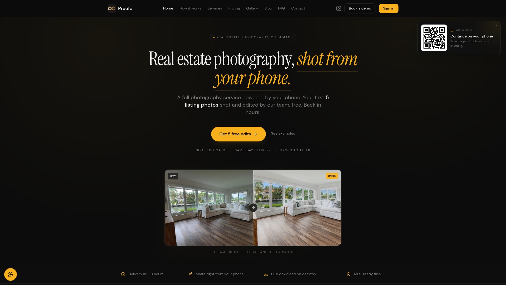
With Proofe, your photos go through a three-step process: shoot with your phone's GPS active, let the AI enhancer handle lighting and detail, then download MLS-ready files the same day. Features like sky replacement and AI enhancement work alongside your location metadata, so you get verified, polished images in one workflow. The real estate photo app also supports audit trail documentation, which means your geo-tagged originals are preserved for compliance and lender submissions. Your first five photos are free.
FAQ
What is geotagging in real estate photography?
Geotagging in real estate is the process of embedding GPS coordinates, altitude, and timestamp into a property photo's metadata at the time of capture. This turns the image into verifiable location evidence used for listings, compliance, and buyer verification.
Does my smartphone automatically geotag real estate photos?
Yes, provided location services and camera permissions are enabled. Smartphones deliver 3 to 5 meter GPS accuracy outdoors, which is sufficient for most real estate documentation needs.
Why do my photos lose location data after uploading to social media?
Platforms like Instagram and Facebook strip GPS metadata from uploaded images as a privacy measure. Supplement public-facing listing photos with map overlays or address captions to preserve location context for buyers.
How accurate is AI geolocation when photo metadata is missing?
AI-based geolocation tools analyze visual elements like architecture, signage, and vegetation to identify location. These models achieve up to 72.7% city-level accuracy on benchmark datasets, with higher accuracy in urban environments and lower accuracy in rural areas.
What is the three-anchor verification method for real estate photos?
The three-anchor method combines GPS metadata, visible landmarks or street signs within the photo, and a cross-reference against satellite or street view maps. This approach produces the most defensible location evidence for loan documentation, RERA compliance, and legal disputes.